8 BEST COLORADO HIKES
Colorado is not lacking for breath-taking hikes – both because of the views and the high altitude. Here are some of our favorite Colorado hikes that are sure to take your breath away.
colorado HIKES
St. Mary’s Glacier
Distance: 1.6 miles
Difficulty: Moderate
Starting and Ending Elevation: 10,350 ft – 10,990 ft
Time: 1.5 hours
Distance from Denver: 1 hour
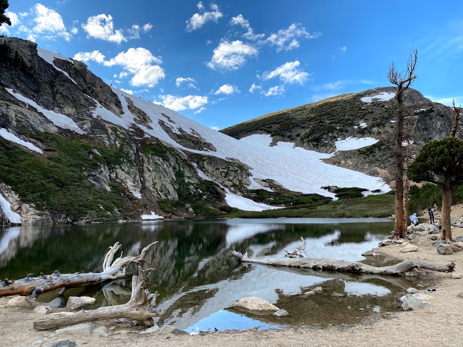
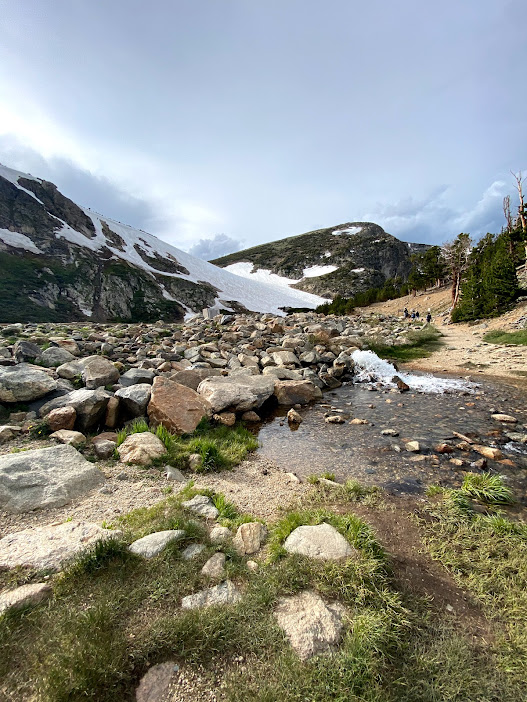
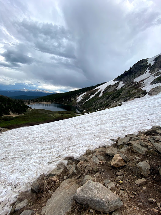
St. Mary’s Glacier is a stunning hike located about an hour outside of Denver. It’s one of our personal favorites. Since the trail is so short, you really feel that 500 ft of elevation gain. You’ll start out walking straight up a rocky trail and continue up the entire time until you reach a spectacular alpine lake. Walk past the alpine lake and you’ll be able to explore the glacier.
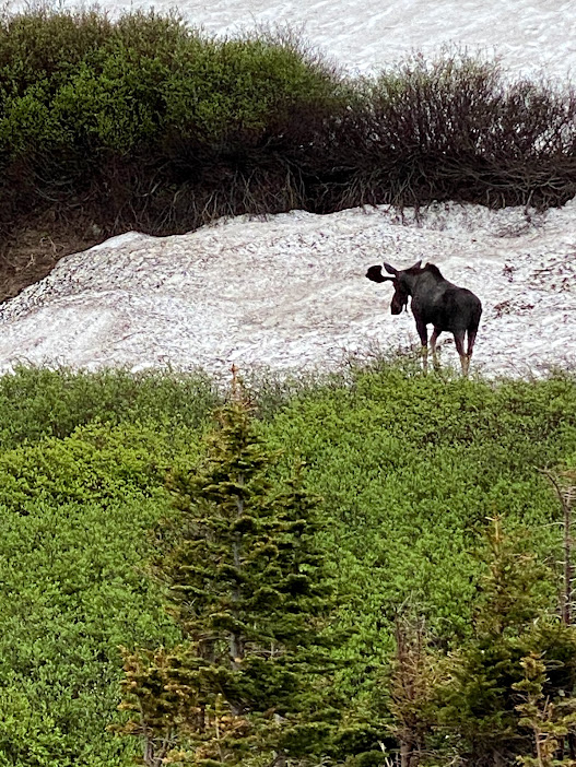
If you visit during the winter or early spring months, the snow-covered landscape makes for a fun place to ski and snowboard, although you will have to carry your equipment up and there aren’t any lifts. If you want to hike, it’s a good idea to bring spikes and you most likely will need to make your own path! We visited in June and there was still enough snow to snowboard and ski. Keep an eye out for wildlife! We’ve seen moose and marmots on this trail – and a small fox near the parking lot.
The last time we hiked here in 2020, the parking fee was $5 (cash or check), but it seems like it has increased to $20 per vehicle in the past year or so.
Deer Mountain – Rocky Mountain National Park
Distance: 6 miles
Difficulty: Moderate
Starting and Ending Elevation: 8,900 ft – 10,059 ft
Time: 3 hours
Distance from Denver: 1 hour and 45 minutes
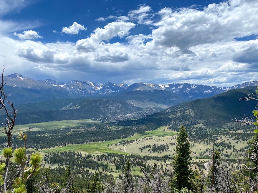
If you’re looking for a less crowded trail in Rocky Mountain National Park that still has great views, Deer Mountain is a great option for you. It’s one of my favorite Colorado hikes. You’ll start this trail in a valley and then hike through aspen trees, and up a ton of steep switchbacks until you reach the summit. The switchbacks feel endless and you’ll feel your booty the next day, but the 360 degree panoramic views are totally worth it. If you’re used to hiking at lower elevation, you may need to stop to catch your breath a few times. There’s a mix of both shaded areas and sections with more open views. Bring a light layer as the top can be a lot colder and windier than the base. We saw deer, elk, and ground squirrels on this hike.
The trailhead has limited parking and you will need to pay the Rocky Mountain National Park entrance fee or use your America the Beautiful annual pass. There also is not a bathroom at this trailhead.
Coyote Song – South Valley Park
Distance: 3 miles
Difficulty: Easy
Starting and Ending Elevation: 5,700 ft – 6,043 ft
Time: 1 hour
Distance from Denver: 20 mins
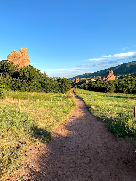
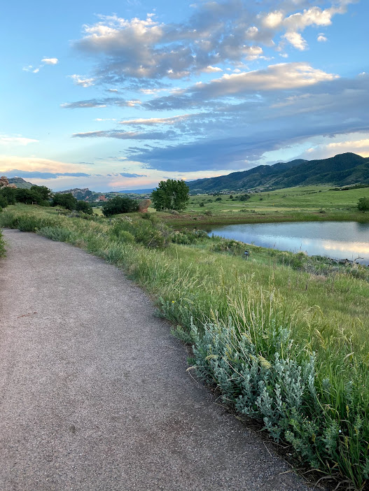
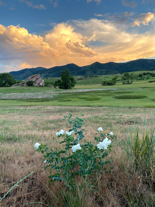
If you’re looking for a nice, easy walk this is a great trail for you. This flat dirt trail winds around South Valley Park where you’ll see some jutting redrocks and a small reservoir. We went for a sunset walk and were treated to a spectacularly beautiful sky. There isn’t much shade, so if you visit in the warmer months don’t forget a hat and some sunscreen.
Parking is free.

South Rim, Willow Creek, and Fountain Valley Trail – Roxborough State Park
Distance: 5.2 miles
Difficulty: Easy – Moderate
Starting and Ending Elevation: 5,989 ft – 6,565 ft
Time: 2 – 2.5 hours
Distance from Denver: 40 mins
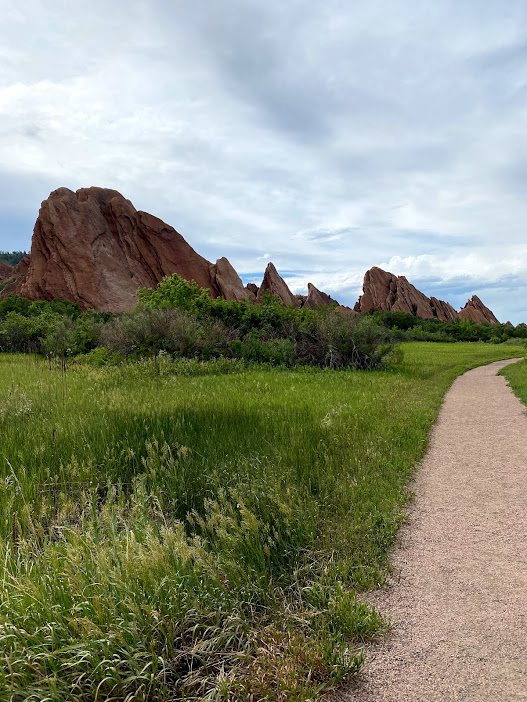
Roxborough is a great starting point if you’ve just arrived in Colorado and are looking for an intro hike to higher altitudes. It feels like a sister park to the Garden of the Gods – super cool with slightly smaller red rock areas. This is a great park with some altitude, but not too much, so you can start to get adjusted. There are a couple different well-marked trails in the park so you can make your hike as short or as long as you’d like. In another place, with a lower altitude, we’d consider this trail easy, but with the added altitude, you feel it a bit more – especially if you’ve just arrived in Colorado and are not used to hiking at higher elevations (like us). If you go clockwise, this trail has a few climbs and descents, but is mostly flat with a slight downward slope.
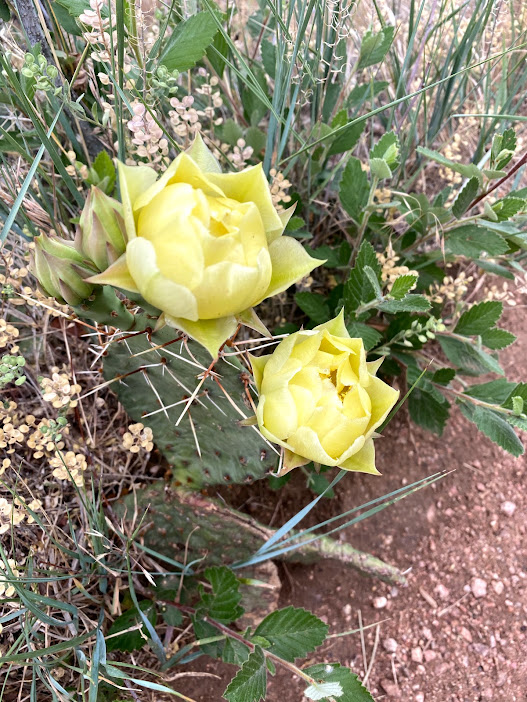
If you’ve never hiked in a red rock area before, it’s nice to go during sunrise or sunset so you can see how the sunlight changes the color of the rocks. Depending on the season, you might also see some pretty wildflowers lining the trail.
We combined a couple different trails into a loop. We enjoyed this route as it allows you to get up close and walk through the red rocks, and also gain some elevation to see the cool rock formations from above.
Parking is $10 per vehicle.
Eldorado Canyon Trail – Eldorado Canyon State Park
Distance: 6.6 miles
Difficulty: Moderate
Starting and Ending Elevation: 6,000 – 7,167 ft
Time: 3 – 4 hours
Distance from Denver: 1 hour
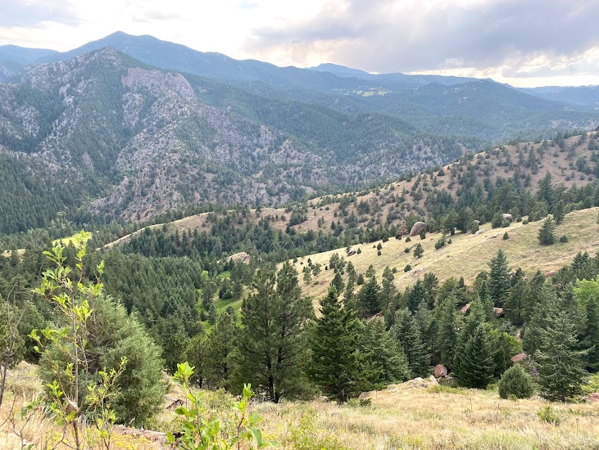
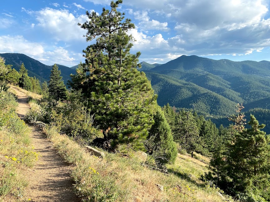
Eldorado is an excellent trail, offering a good mix of ascents and descents. With almost 2,000 ft elevation gain, this is definitely more of a workout than a walk in the park. You’ll climb straight up to a stunning viewpoint, then hike down to reach Boulder Creek, and then do it all again in reverse. If you don’t want to climb down to Boulder Creek (and back out), the viewpoint is a good place to end your hike. If you choose this option, you’ll only have about 1000 ft elevation gain during this hike. You’ll also have an option to see a different part of Boulder Creek from the parking lot. Dip your feet into Boulder Creek off the parking lot to cool down after your hike. It is shockingly refreshing.
You’ll feel lots of different elements on this hike – mostly sun and wind, so don’t forget a windbreaker and sunscreen.
Parking is $10 per vehicle.
Lily Lake – Rocky Mountain National Park
Distance: 0.8 miles
Difficulty: Easy
Starting and Ending Elevation: 8,900 ft (minimal changes)
Time: 20 minutes
Distance from Denver: 1 hour and 45 minutes
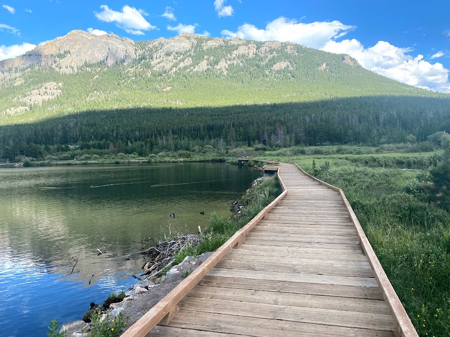
Wow! What a beautiful hike. This is a great way to start your day, or end your day if your legs are getting tired, but you just want one more scenic walk. The Lily Lake loop is a great mix of boardwalk and well-maintained dirt as you circle around the pretty lake. You’ll have stunning snow-capped mountain views, and potentially some picturesque reflections in the water. The views start from the parking area, making this a great place to picnic. Bring your bug spray for this one – we found it to be quite buggy.
While this hike is considered part of Rocky Mountain National park, you won’t go through an entrance booth to enter the parking area for this trail. Parking was free when we visited.

Nymph, Dream, Emerald, and Haiyaha Lakes – Rocky Mountain National Park
Distance: 5 miles (5.5 miles if you add on Bear Lake)
Difficulty: Easy side of Moderate
Starting and Ending Elevation: 9,394 ft – 10,275 ft (1,086 ft gain)
Time: 2 – 3.5 hours (more or less time depending on if you add on Bear Lake and how long you stop for food)
Distance from Denver: 1 hour and 45 minutes
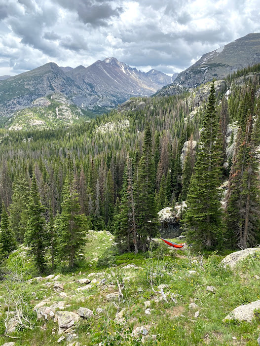
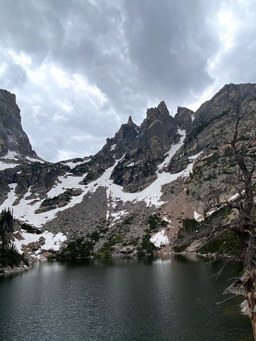
This is one of the best hikes in the park – and for good reasons. It’s absolutely breathtaking and you’ll get to see FIVE uniquely beautiful lakes. If you don’t want to see all five lakes, this trail is an out and back with some offshoots, so you can easily adapt and turn around at any point. The main trail takes you to three lakes – Nymph, Dream, and Emerald Lakes – in that order. You can choose to add on two separate smaller trails – one to Haiyaha Lake (which we highly recommend) and one to Bear Lake.
It is one of the more popular Colorado hikes, so don’t expect to have the trail to yourself, but it is still 100% worth completing. I feel like it’s always better to know and set an expectation that a trail will be crowded so I’m not disappointed if I don’t have solitude. In our experience, crowds did die down quite a bit on the offshoot to Haiyaha Lake, which is one of the reasons that it was our favorite section of the hike.
This hike is in Rocky Mountain National Park so you will need to pay the entrance fee or use your America the Beautiful annual pass. For more info on this hike check out our guide to Rocky Mountain National Park.
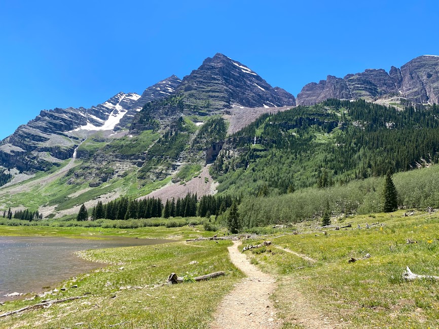
Maroon Bells Scenic Loop Trail + Crater Lake – Maroon Bells Snowmass Wilderness
Distance: 3.5 miles
Difficulty: Easy side of Moderate
Starting and Ending Elevation: 9,540 ft – 10,208 ft (688 ft gain)
Time: 2 hours
Distance from Denver: 3 hours 45 minutes
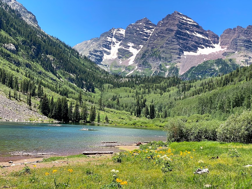
The Maroon Bells trail literally took my breath away. This small but mighty trail is one of the best hikes in Colorado – if not the whole USA. From the trailhead you’ll already see the iconic view of the mountains, called Maroon Bells. It’s actually one of the most photographed areas in all of Colorado. You’ll start by circling halfway around Maroon Lake. Once you reach the end of the lake, you’ll have a short (slightly over a half mile) uphill trek over some rocky areas, before you reach Crater Lake.
Want an easier option? Skip the trek to Crater Lake and loop back around when you reach the end of Maroon Lake. You’ll be on relatively flat ground and will only gain about 100 feet of elevation. Reservations are required to visit this area. You will need to either drive or take a shuttle. There are bathrooms at the trailhead.
NOT DONE TRAVELING?
Check out our guides of nearby areas:
Best of Denver
Rocky Mountain National Park
Pike’s Peak and Garden of the Gods
Boulder